 Using the Returnloads.net interactive map to find a load couldn’t be easier.
The interactive map is designed to speed up the process of finding available freight loads and is available on the Home page, My Fleet page and the load result pages.
Here is a guide on how to find a freight load using the map
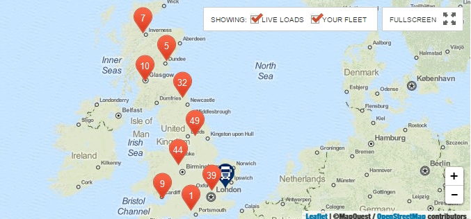
The orange pinpoints (load icons) indicate how many freight loads are available in the UK.

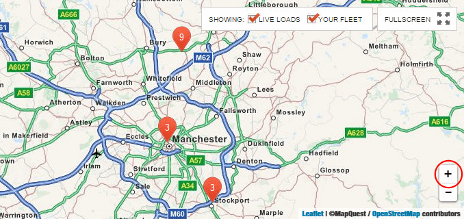
You can zoom into a specific area of the map by either clicking a load icon or by clicking the “+” button in the bottom right corner.
If you need to zoom out just click the “-“ button.

When zooming in the load icons will disperse showing you more accurate locations.
Each time you click a load icon the map will zoom in a little more until it zooms in enough to show you accurately where the freight loads are located.

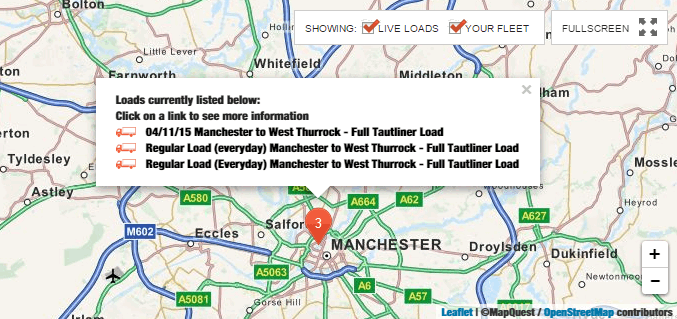
Once the map is zoomed in enough to display the specific locations of the freight loads you can click the load icon to see a list of what loads are available at that location.

On this list it will include the type of load, for instance a full tautliner load or a rigid flatbed load, the pickup and delivery location and of course the date.
When you find a load which is of interest just click on it and you will be taken to the load details page which will have the details of the company who has placed the load.